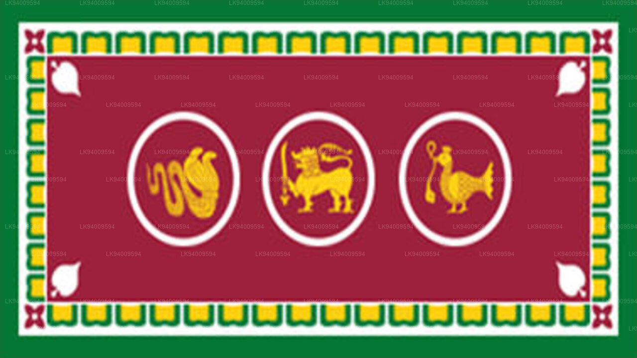
Northern Province
The Northern ProvinceNorthern Province is located in the north of Sri Lanka just 35 km from India. It has a land area of 8,884 km’. The province is surrounded by the Gulf of Mannar and Palk Bay to the west, Palk Strait to the north west, the Bay of Bengal to the north and east and the Eastern, North Central and North Western provinces to the south. The Northern Province of Sri Lanka is comprised of five administrative districts: Jaffna, Kilinochchi, Mulaitivu, Vavuniya and Mannar while Jaffna being the provincial capital which is the administrative headquarters of the Jaffna districtlocated on a peninsula of the same name.
Jaffna is approximately six miles away from Kandarodai which served as a famous emporium in the Jaffna peninsula from classical antiquity. Jaffna’s suburb, Nallur served as the capital of the four centuries-long medieval Jaffna kingdom. Prior to the Sri Lankan civil war, it was Sri Lanka’s second most populated city after Colombo. But due to the Tamil insurgency, the city tended to depopulate. Since the end of civil war in 2009, refugees and internally displaced people are returning to their homes and government and private sector reconstruction has begun.
Historically, Jaffna has been a contested city. It was made into a colonial port town during the Portuguese occupation in the Jaffna peninsula in 1619. It changed hands after the Dutch lost to the British in 1796. After Sri Lanka gained independence 1948, the political relationship between the minority Sri Lankan Tamils and majority Sinhalese worsened. Riots erupted following the cold blooded killing of 13 soldiers of the Sri Lanka Army. Jaffna was occupied by the terrorists in 1986 and the Sri Lankan military gained control in 1995.
Northern Province
Majority of the city’s population are Sri Lankan Tamils, although there were a significant number of Sri Lankan Moors, Indian Tamils and Sinhalese present in the city in the past. Most Sri Lankan Tamils are Hindus followed by Christians, Muslims and a Buddhist minority. The city is home to a number of educational institutions established during the colonial and post-colonial period. It also has number of commercial institutions, minor industrial units, banks, hotels and other government institutions such as the hospital. It is home to the popular Jaffna library that was burnt down and rebuilt. The city is anchored by the Jaffna fort rebuilt during the Dutch colonial period.
Excavations conducted by Sir Paul E. Pieris during 1918 and 1919 in the ancient Jaffna capital of Kandarodai and Vallipuram, a coastal town six kilometres from Point Pedro revealed coins called “puranas”, and “kohl” sticks dating back to 2000 B.C. similar in style to the sticks used to paint pictures in Egypt, suggesting that the northern part of Sri Lanka was a “flourishing” settlement prior to the arrival of Prince Vijaya. In the chronicle Mahavamsa, around sixth century B.C, there are descriptions of exotic tribes such as the Yakkhas strictly inhabiting the centre of the island, and the Nagas who worshiped snakes inhabiting the northern, western and eastern parts of the island, which was historically referred to as “Nagadipa”. Jaffna city, along with the rest of the Jaffna peninsula was part of the Kingdom of Tambapanni in 543 BC. Ancient Sinhala chronicles including Mahavamsa describe Jaffna city as a vital part


 西部省
西部省 中央省
中央省 南部省
南部省 乌瓦省
乌瓦省 萨巴拉加穆瓦省
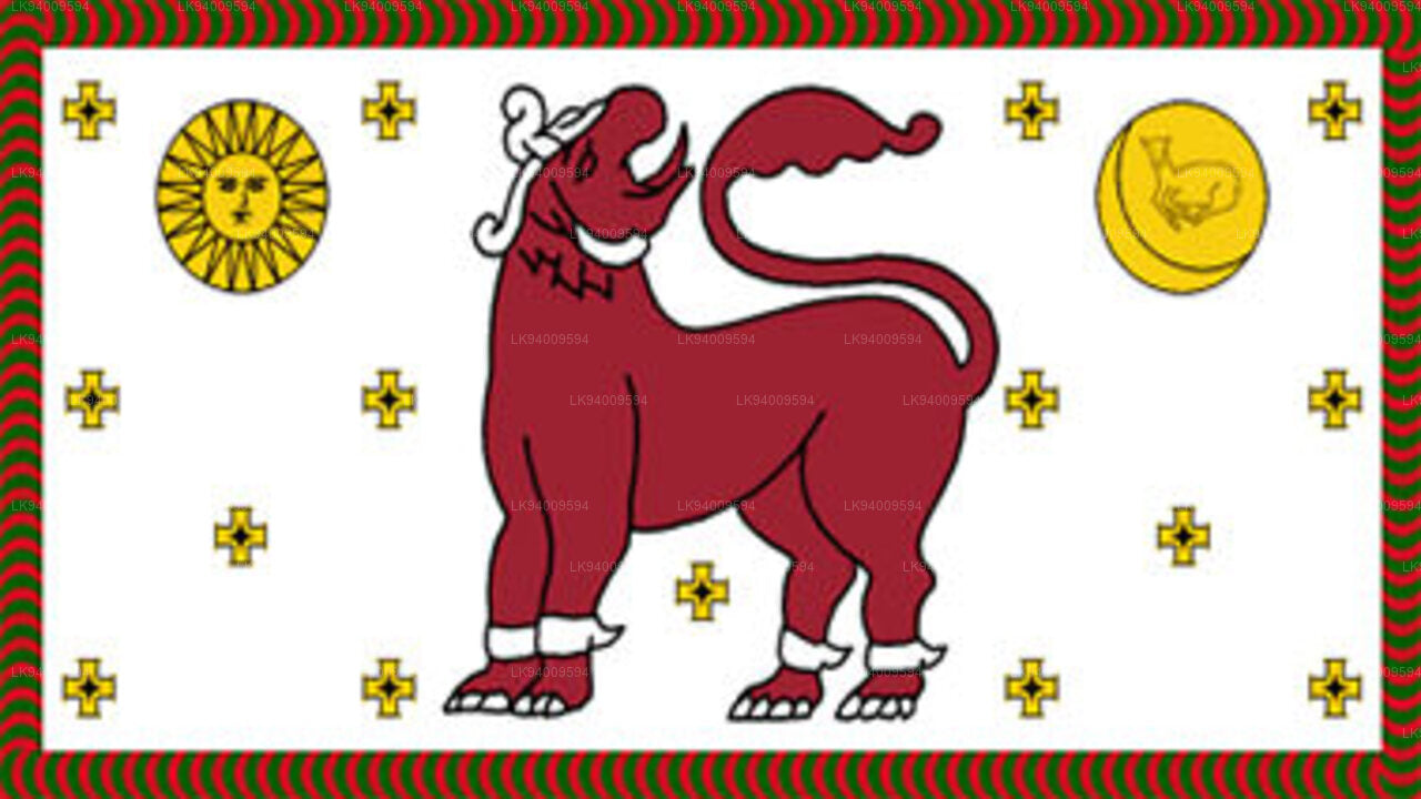 西北省
西北省 北中省
北中省 北部省
北部省 东部省
东部省


