Sabaragamuwa Province
Sabaragamuwa is yet another province of Sri Lanka, located in the south-central region of the island and is comprised of two administrative districts: Ratnapura and Kegalle. Sabaragamuwa is named after its former indigenous inhabitants, namely the Sabara, an Indic term for hunter gatherer tribes, a term seldom used in ancient Sri Lanka. The province is well known for its gem industry, particularly the Ratnapura District. Apart from gem industry, the province is known for rice and fruit cultivations and rubber plantations. In the province are also tourist attractions such as the Sinharaja Forest Reserve, Udawalawa National Park, Kitulgala, and Adam’s Peak etc.
The capital of the province is Ratnapura, the name means `city of gems’, a city most known for the long established gem industry in Sri Lanka. Most of the people of the town depend on the gem trade. Gem pits are a common site in the surrounding area. Most of the large-scale gem businessmen operate from Ratnapura. There are a considerable number of foreign gem traders too operating in the town. Rice cultivation is presently facing an uncertain future in Ratnapura because many farmers are giving up rice cultivation and switching to gem mining which is a more productive way of earning money. Many delicious fruits like mango and papaya and also vegetables are grown as market products.
Ratnapura is located on the A4 Highway which connects the capital Colombo to Kalmunai in the Eastern Province. Another Highway A8 connects the town with Panadura in the western coast of Sri Lanka. Ratnapura features a tropical rainforest climate. The city is located in the south-western part of Sri Lanka, the so-called wet zone. The town receives rainfall mainly from south-western monsoons from May to September and is often inundated.
Sabaragamuwa Province
There are many places of worship in and around the city. Some of them are the mountain Sri Pada (Adam’s Peak), Maha Saman Devale, Delgamu Viharaya, Pothgul Viharaya, Diva Guhava, Siva Temple, Jumma Mosque, Saints Peter and Paul’s and St. Luke’s Churches.
The scenic nature’s creations are the waterfalls such as Bopath Ella situated at Kuruwita, Katugas Ella, a popular waterfall situated at Mahawalawatta, 3 km away from Ratnapura; Kirindi Ella, the seventh highest waterfall in Sri Lanka situated 4 km away from Ratnapura-Pelmadulla Main Road; Rajanawa, situated next to Ratnapura-Kalawana Main Road in Marapana village.
In the time of the last king of Sri Lanka “Sri Wickrama


 西部省
西部省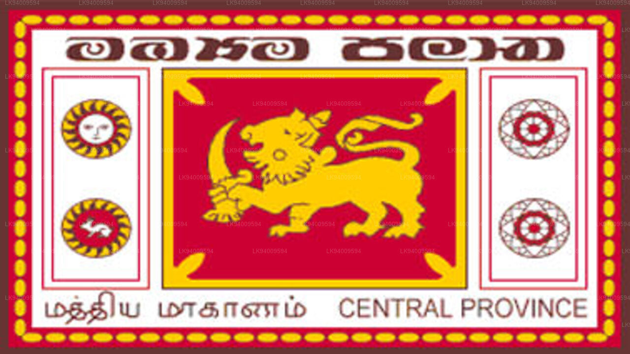 中央省
中央省 南部省
南部省 乌瓦省
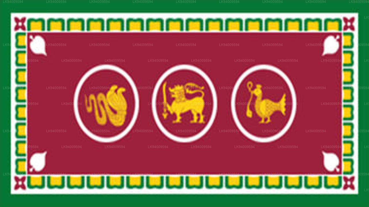
乌瓦省 萨巴拉加穆瓦省
 西北省
西北省 北中省
北中省 北部省
北部省 东部省
东部省


