Peaks
Sri Lanka boasts diverse mountains and peaks, each with its own allure. Ritigala is shrouded in mystique with lush forests and historic ruins, while Mihintale holds cultural significance as Buddhism's birthplace. Namunukula, a hidden gem, offers serene escapes with breathtaking landscapes and cool climates.
Gommolliya Peak
Location:
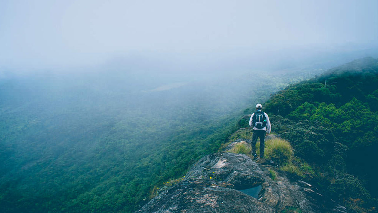
Gommolliya Peak is part of the Knuckles Mountain Range in central Sri Lanka, a UNESCO World Heritage Site known for its biodiversity and scenic beauty. The peak is located in the Kandy District, which is in the central highlands of Sri Lanka.
Height:
Gommolliya Peak has an elevation of approximately 1,866 meters (6,122 feet) above sea level, making it one of the prominent peaks in the Knuckles Range.
Notable Features:
1. Geographical Significance:
The Knuckles Mountain Range, including Gommolliya, is known for its unique topography, characterized by jagged peaks and deep valleys, often resembling the knuckles of a hand, hence the name. The range offers panoramic views of the surrounding hills and valleys, making it a popular destination for hikers and trekkers.
2. Flora and Fauna:
The Knuckles Range, where Gommolliya is located, is rich in biodiversity. The forests in the area are home to various species of flora and fauna, some of which are endemic to Sri Lanka. Common wildlife in the area includes wild boars, deer, monkeys, and several species of birds. The region is also known for its diverse plant life, including numerous endemic species.
3. Trekking and Hiking:
Gommolliya Peak is part of the trekking routes in the Knuckles Mountain Range. The hike to the peak can be challenging, as it involves navigating through dense forests and steep terrain. Trekking to Gommolliya offers breathtaking views of the surrounding mountain ranges, valleys, and tea plantations.
4. Scenic Views:
From the summit of Gommolliya Peak, trekkers are treated to stunning panoramic views of the central highlands of Sri Lanka, including vistas of the Victoria Reservoir, Hunnasgiriya, and the distant Pidurutalagala (the highest peak in Sri Lanka). The area also offers beautiful views of the Knuckles Range and the surrounding landscapes, with mist and cloud cover creating a mystical atmosphere.
5. Climate:
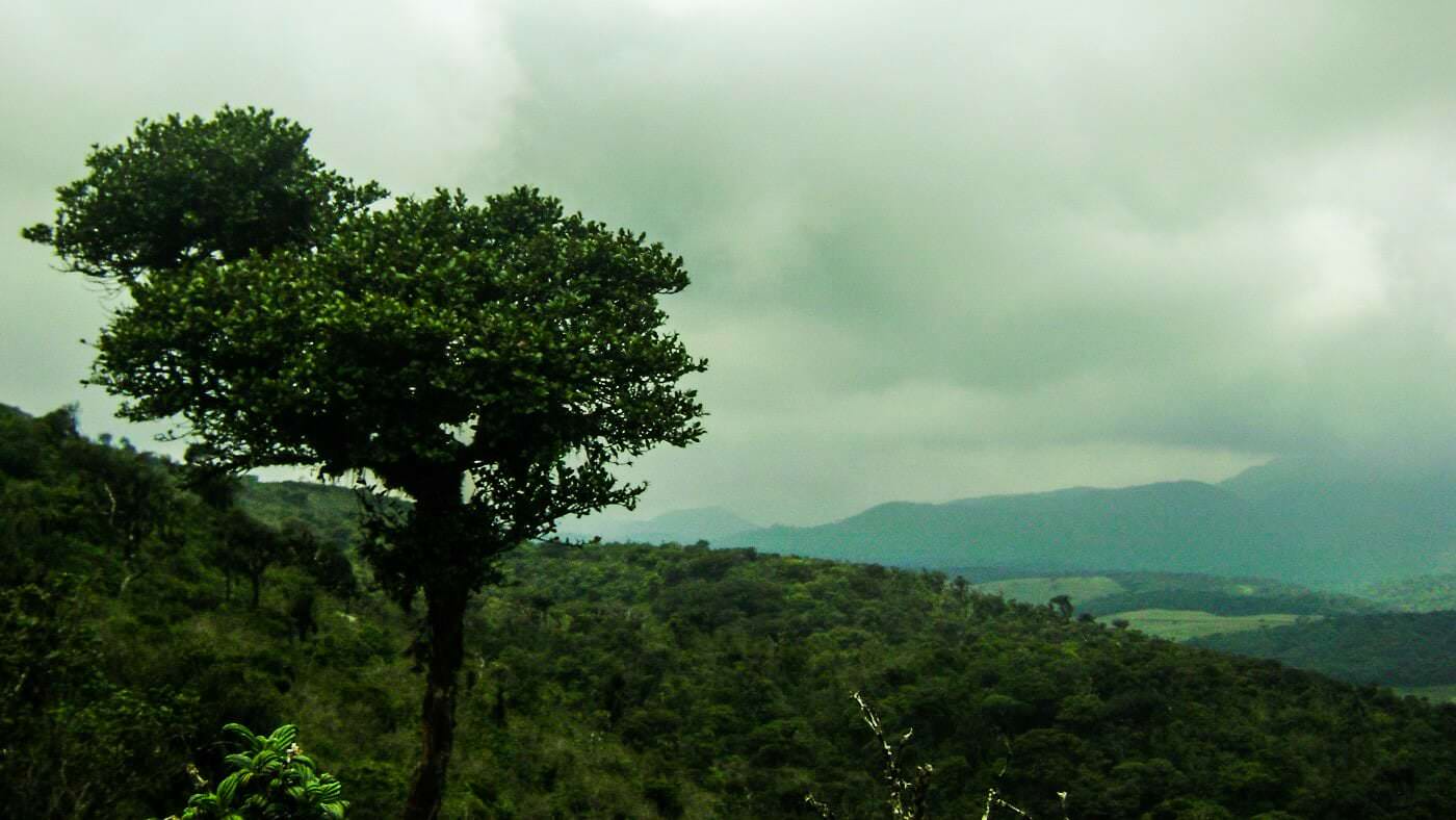
The climate around Gommolliya Peak is cool and temperate due to its elevation. The weather can be unpredictable, with fog and mist frequently covering the area, especially in the mornings and evenings. It is common to experience rainfall, contributing to the lush greenery in the region.
6. Access:
The peak is accessible via a trek from the nearest town or village. While the route to Gommolliya is not as popular as some other peaks in Sri Lanka, it is a well-known destination for experienced hikers looking to explore the Knuckles Mountain Range. Visitors typically trek through the forested areas of the range, with guides being recommended due to the challenging terrain.
Cultural and Environmental Significance:
The Knuckles Mountain Range, including Gommolliya Peak, has immense cultural and environmental importance. The region is a vital part of Sri Lanka's natural heritage, offering both conservation value and unique cultural experiences. It is a protected area, ensuring the preservation of its ecosystems and biodiversity.
-
 Kirigalpotta
Reaching upto 2388m (7835 feet) above mean sea level, Kirigalpoththa Mountain in Sri Lanka looms in the district of Nuwara Eliya casting its shadow over the main city. This mountain is the second tallest of the island paradise Sri Lanka, and the tallest of the mountains in the island.
-
 Thotupola Kanda
Totapolakanda is the third highest mountain in Sri Lanka situated in Nuwara Eliya district 2,357 m above mean sea level. The mountain is located within the Horton Plains National Park. A trail to the top of the mountain, about two kilometres long, starts a few metres away from the Pattipola entrance to the Horton Plains National Park.
-
 Adam’s Peak (Sri Pada Mountain)
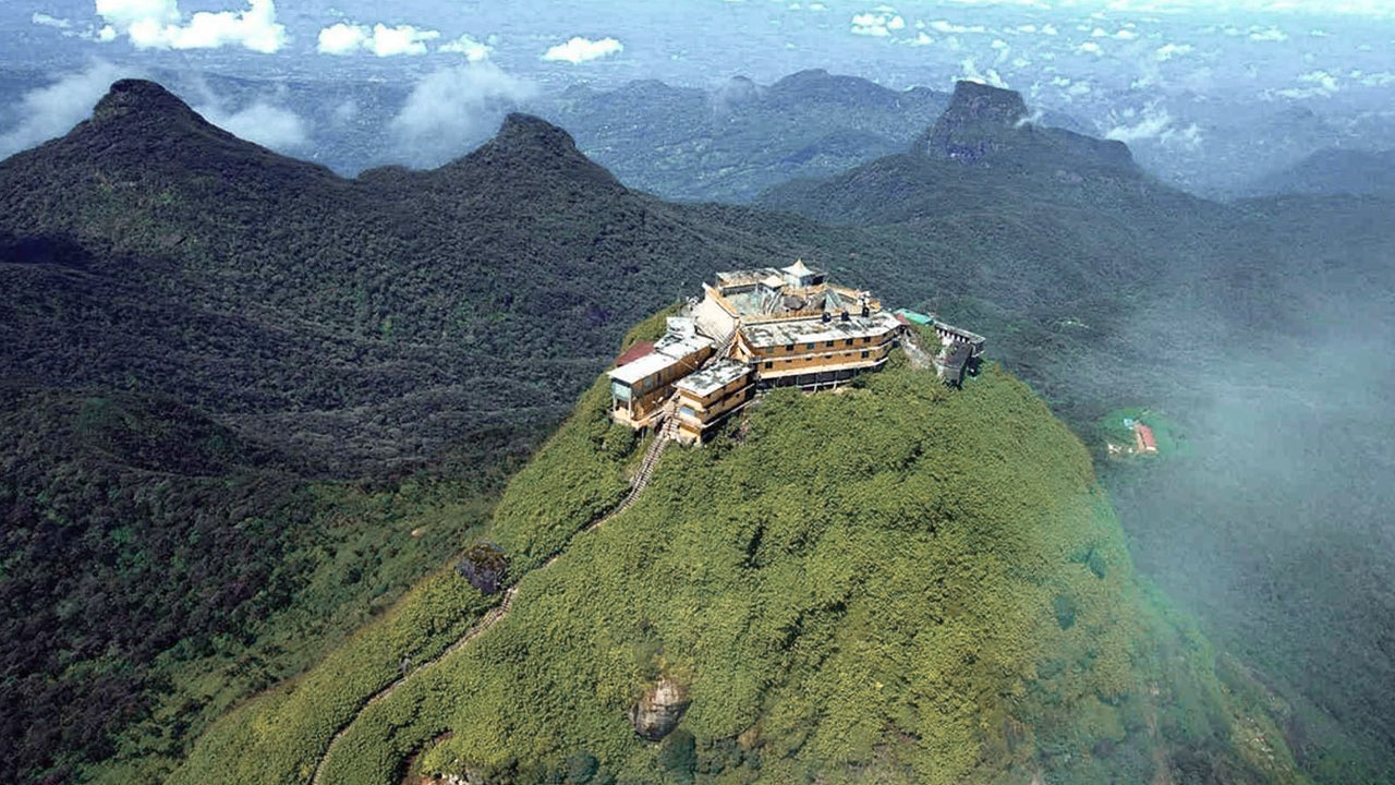
The most famous physical feature of Ceylon is Adam’s Peak, which is situated in the Ratnapura district. It is on the edge of the central massif but its surrounding group of mountains called the Wilderness of the Peak . It is about 7500 ft high and, though it is the second-highest peak in the land.
-
 Hakgala Peak
Hakgala Peak is located in the central highlands of Sri Lanka, within theHakgala Strict Nature Reserve. It is situated near the town ofNuwara Eliyaand is part of theCentral Highlandsregion, which is known for its stunning landscapes and cooler climate.
-
 Gommolliya
Gommolliya Peak is part of theKnuckles Mountain Rangein central Sri Lanka, a UNESCO World Heritage Site known for its biodiversity and scenic beauty. The peak is located in theKandy District, which is in the central highlands of Sri Lanka.
-
 Bambarakanda Peak
Bambarakanda Peak is located in theBadulla Districtof Sri Lanka, within theUva Province. It is part of the central highlands and is situated near the famousBambarakanda Falls, the tallest waterfall in Sri Lanka. The area is renowned for its lush greenery, cool climate, and stunning natural beauty.
-
 Riverston Peak
The Riverston Peak in Sri Lanka can be reached by travelling, about 30km away from the Matale town, down the Matale– Girandurukotte Road. This secretive windy road, with its sharp hairpin turns, offers some of the best views to the surrounding countryside; to the extent that it is called the Mini World’s End.
【Text by Lakpura™. Images by Google, copyright(s) reserved by original authors.】


